Earth Observation - NanoAvionics

Join NanoAvionics' Upcoming Webinar

Get your hands on the sharpest Thermal Infrared (TIR) imagery from Low Earth Orbit.

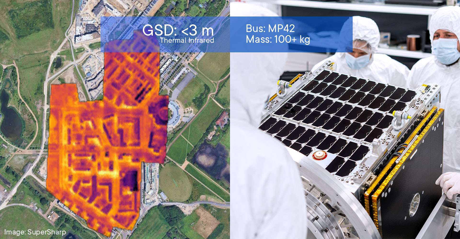
Discover Blue Moon, a revolutionary satellite capturing 3-meter-resolution longwave infrared imagery.

EARTH OBSERVATION
Precision Earth Observation Satellites - When and How You Need Them
NanoAvionics provides reliable, cost-effective small satellite buses for near-real-time Intelligence, Surveillance, and Reconnaissance (ISR), environmental monitoring, agriculture, disaster response, and insurance applications. As one of the most experienced EO small satellite providers with over 20 integrated optical and SAR payloads, we enable you or your customers to get the insights in the resolution, wavelengths, and frequency needed for faster, smarter decisions without compromise.

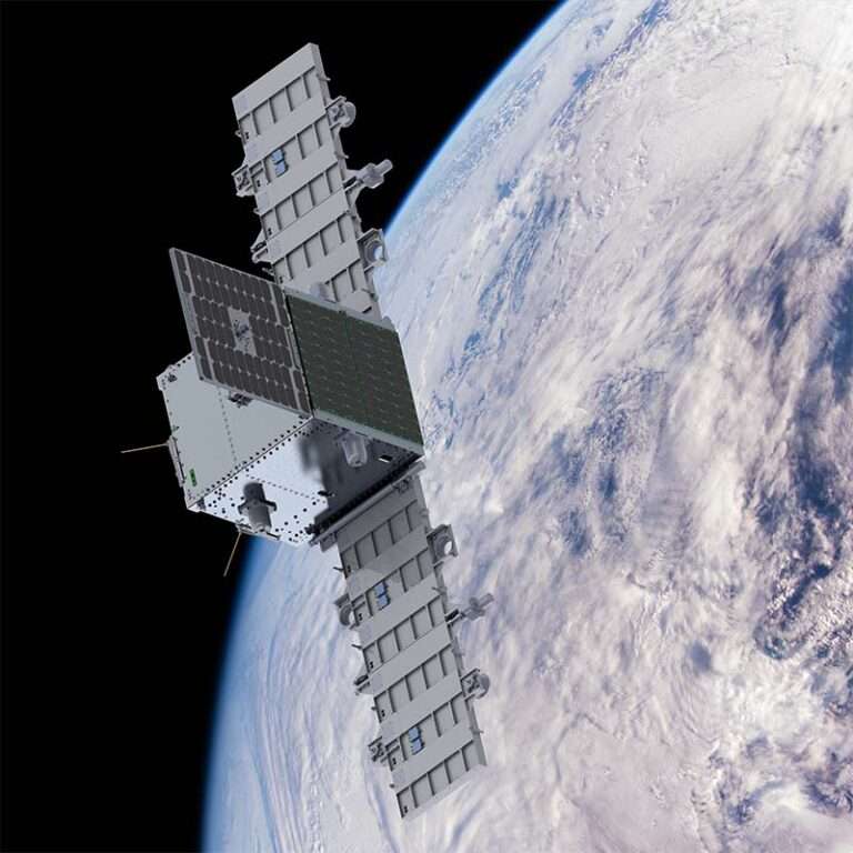
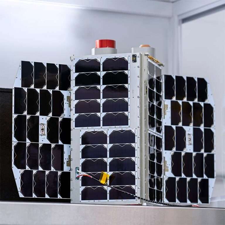
Cover Image: Satlantis GEISAT Precursor, using NanoAvionics' Satellite Bus

Read more Show less
Let's speak
PROVEN TRACK RECORD
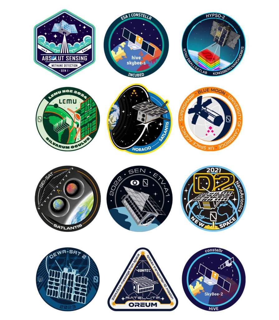
20+ Earth Observation Satellites
Whether you're refining your EO mission concept or looking to build on your in-orbit demonstration, success depends on strategy, execution, and the right tech. We provide expert guidance at all stages, from feasibility studies to constellation scaling, helping you meet mission goals on time and within budget. With experience integrating over 20 optical and SAR payloads for agriculture, security, government, and other needs, we help you make a real impact with proven solutions. That's why over half of NewSpace contributors selected for ESA's Copernicus program in 2024 trusted NanoAvionics to power their missions. By combining our commercial and governmental mission expertise, we help your satellite meet the highest standards without compromising commercial agility.
Satellite Imagery Resolution by Spacecraft Size
  • GSD: 3-6m
    10+ kg mass
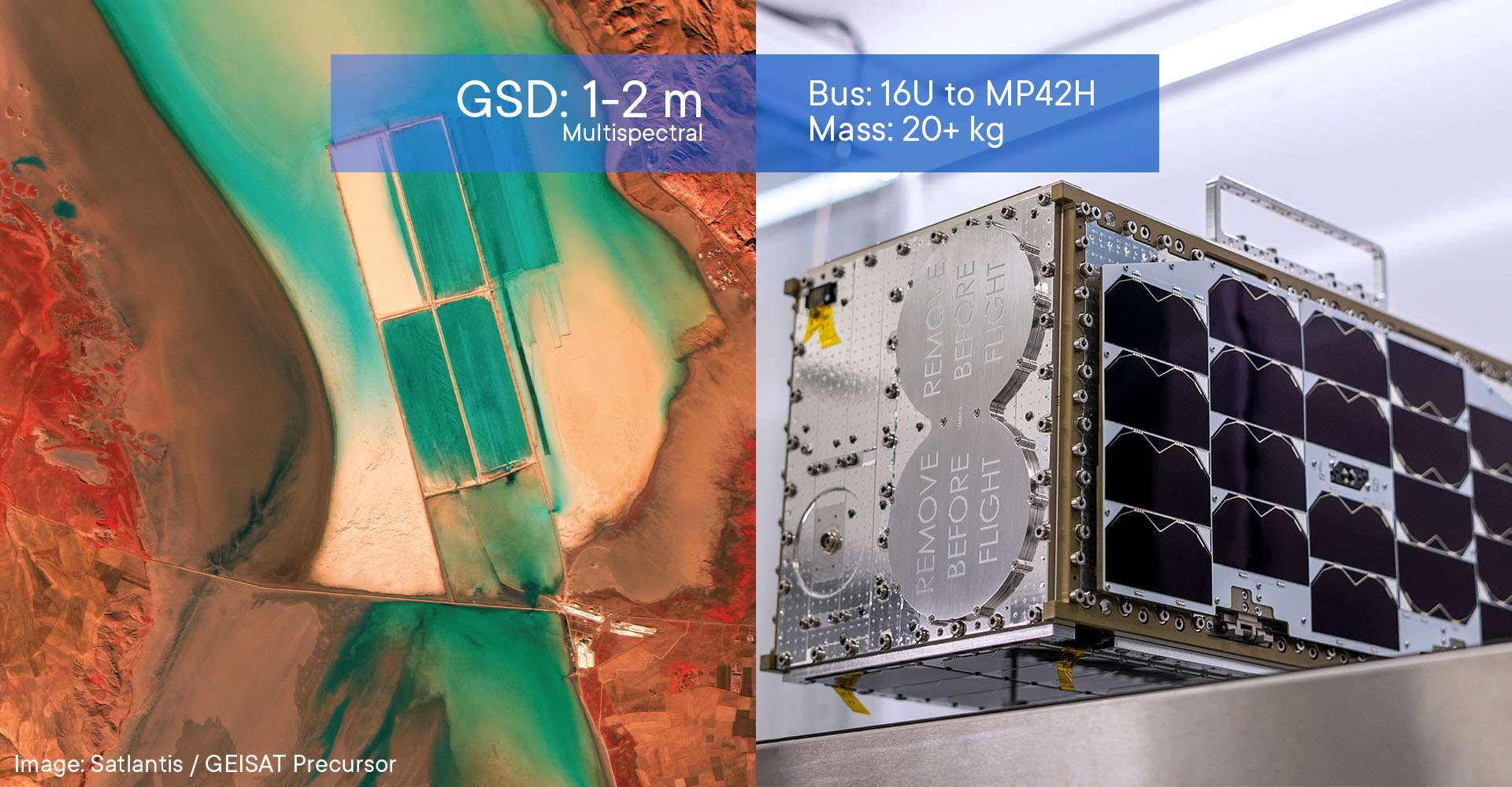
  • GSD: 1-2m
    20+ kg mass
  • GSD: <1m
    100+ kg mass
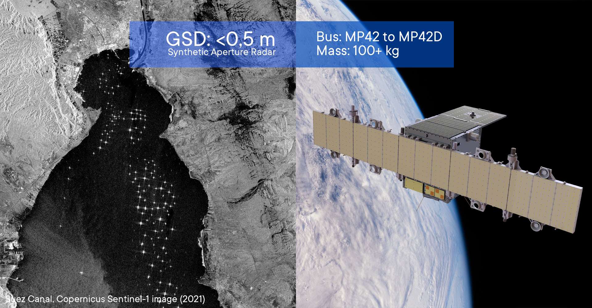
  • GSD: <0.5m
    200+ kg mass
Proven Solutions for Different Spectrums
  • See Through Clouds & Dark
    Synthetic Aperture Radar (SAR)
  • See Heat Signatures
    Thermal Infrared (TIR)
  • Discern Land Features
    Multispectral Imaging (MSI)
  • Discern Minerals and Species
    Hyperspectral Imaging (HSI)
Payloads used with NanoAvionics buses
  • Thermal Imaging - Heat monitoring day and night for ISR, cities, infrastructure, wildfires, and smart agriculture
  • Submeter-class Visible and Near-Infrared (VNIR) - Reconnaissance, monitoring assets, and inspecting property damage
  • Synthetic Aperture Radar (SAR) - Reliable imaging through clouds and at night
  • Meter-class Resolution RGB - High-resolution imagery for mapping and disaster response
  • Hyperspectral Imaging - Advanced environmental and resource monitoring
  • Multispectral Imaging - Ideal for agriculture, water quality, and urban planning
  • UHD Video Livestreaming - Real-time ultra-high-definition video from orbit
Unmatched Thermal Infrared (TIR) Capabilities
Get the Highest Resolution TIR Data Commercially Available
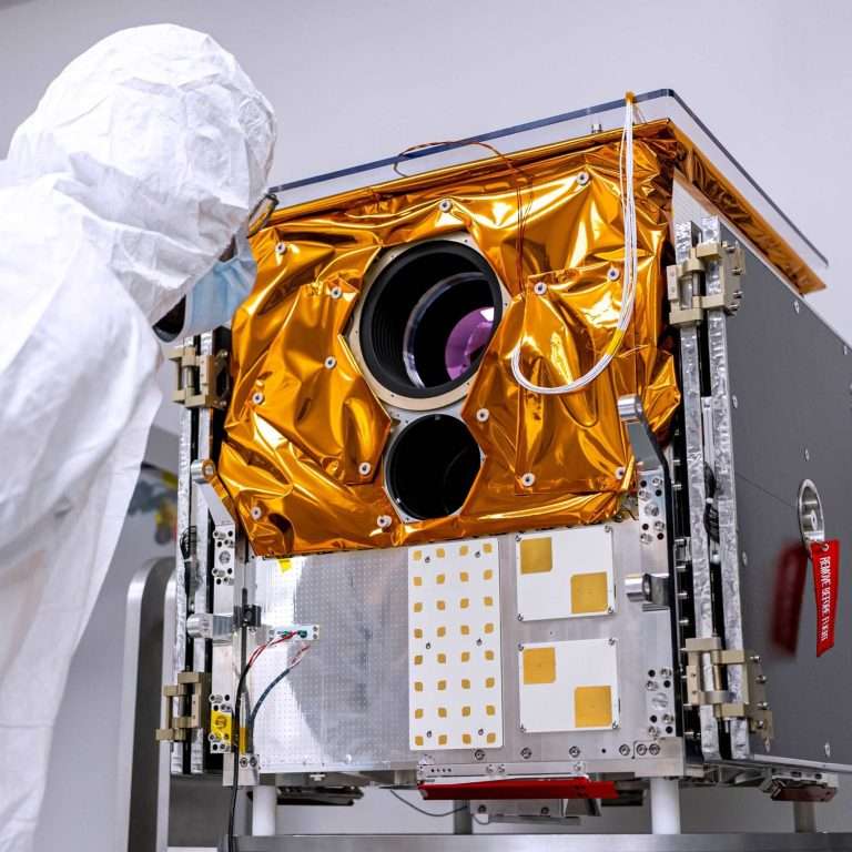
Blue Moon is a next-generation thermal imaging satellite equipped with an unfolding, 120 cm aperture longwave infrared (LWIR) telescope by SuperSharp, a Satlantis company. It delivers unmatched 3-meter-resolution longwave infrared (LWIR) data to offer governments, commercial operators, or enterprises independent thermal observation capabilities and full ownership opportunities. Launching in Q1 2027.
Highlighted Customer Images
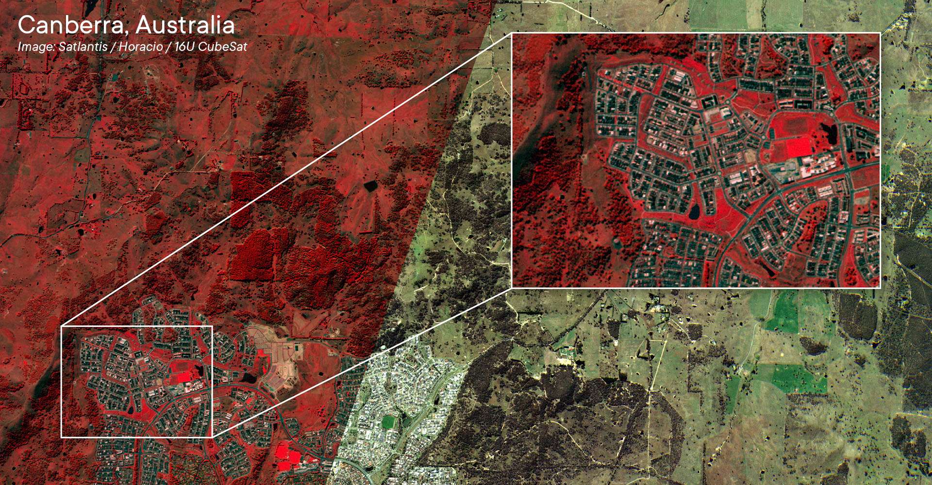
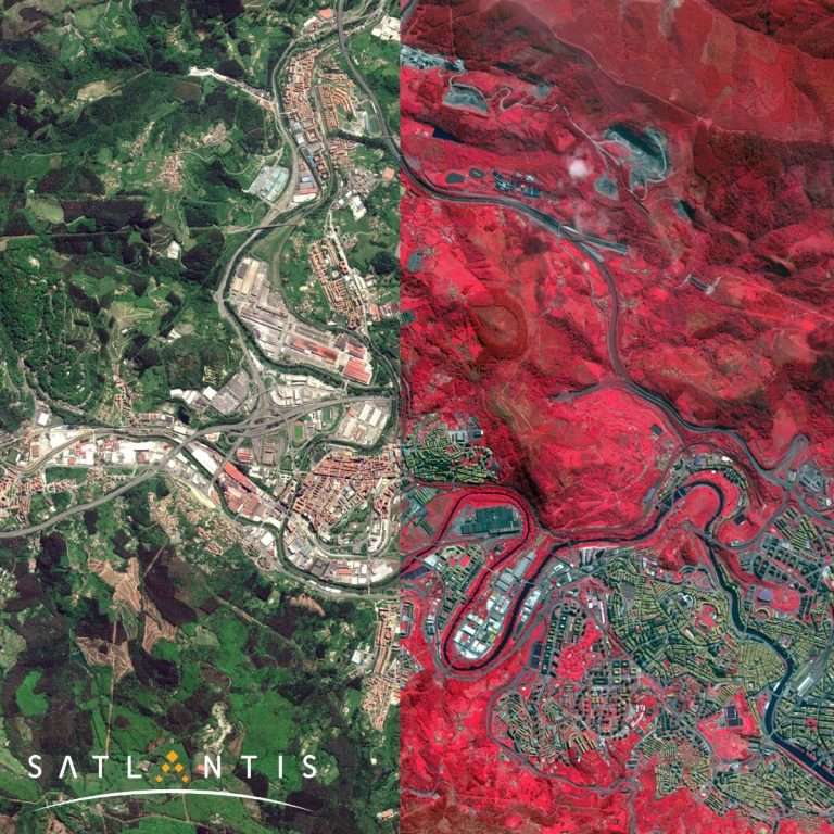
  • Satlantis
    PAN+RGB+NIR at 2m GSD, SWIR at 5m GSD
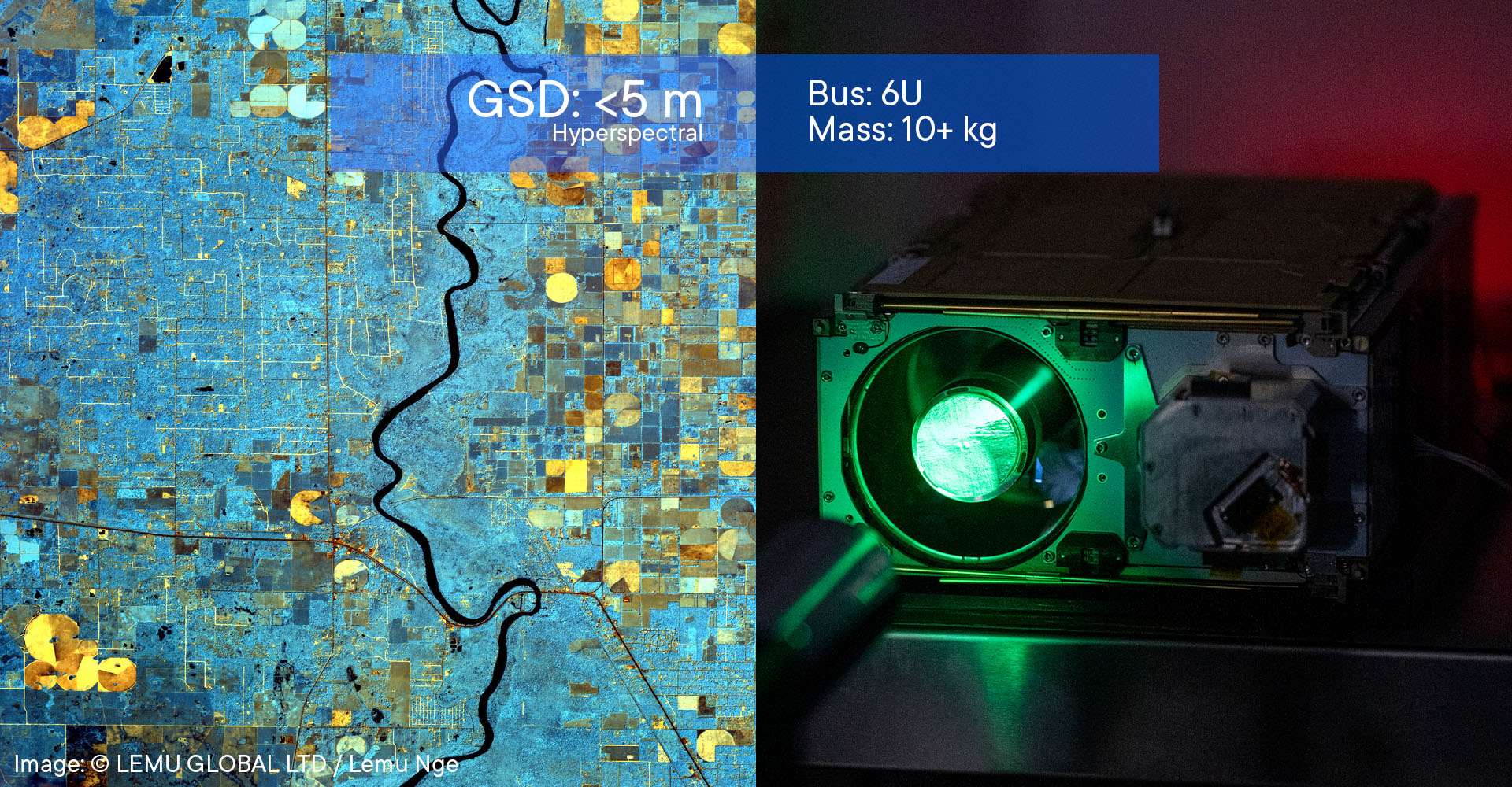
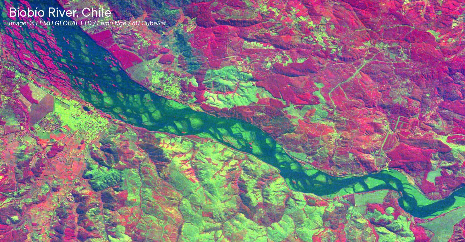
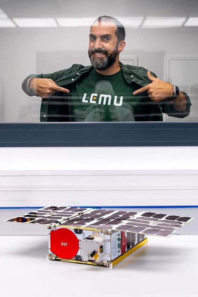
  • Lemu
    32 hyperspectral bands (450-900nm) at 5m GSD
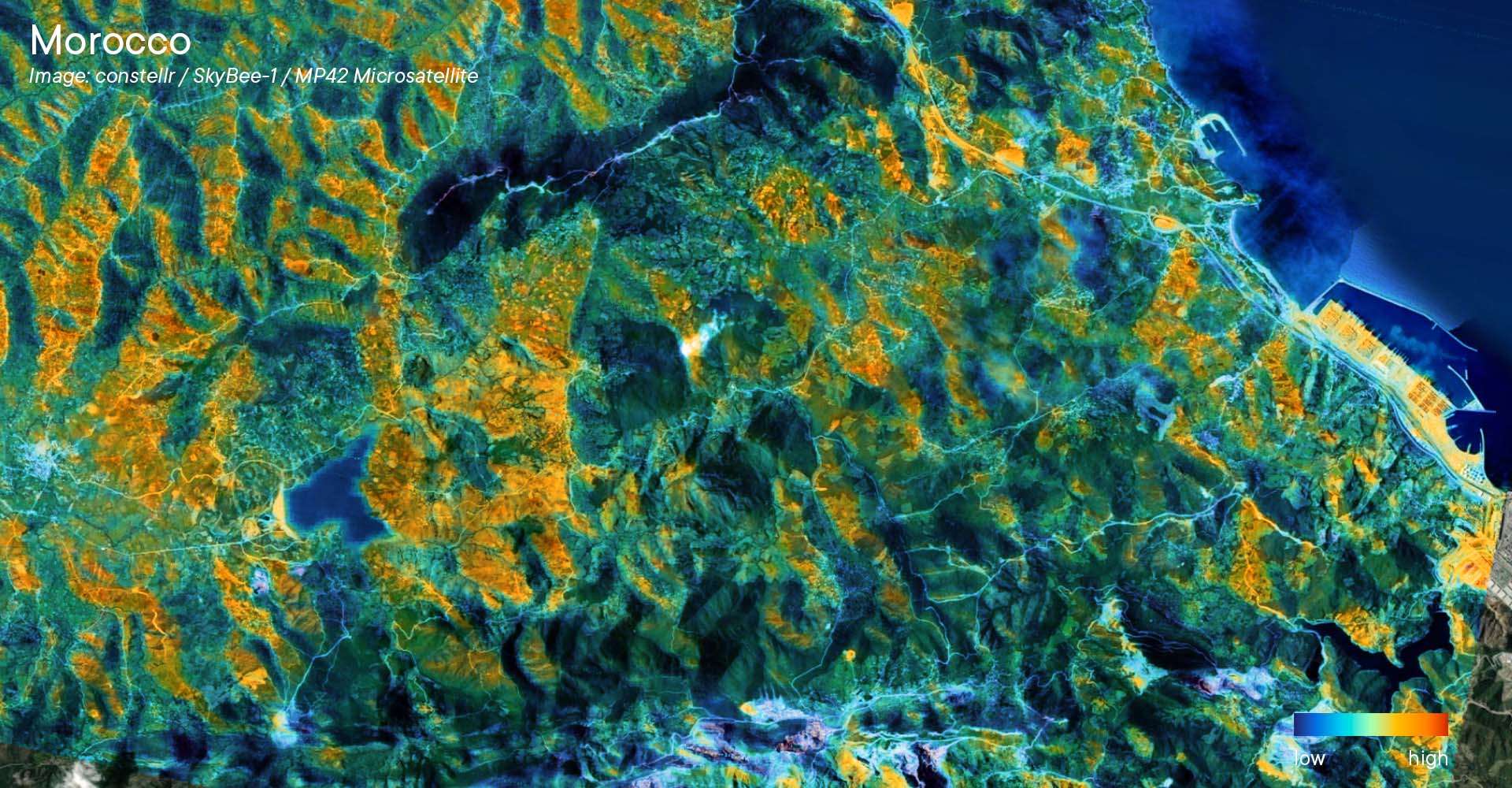
  • constellr
    Thermal infrared at 30m GSD and 1.5°K accuracy
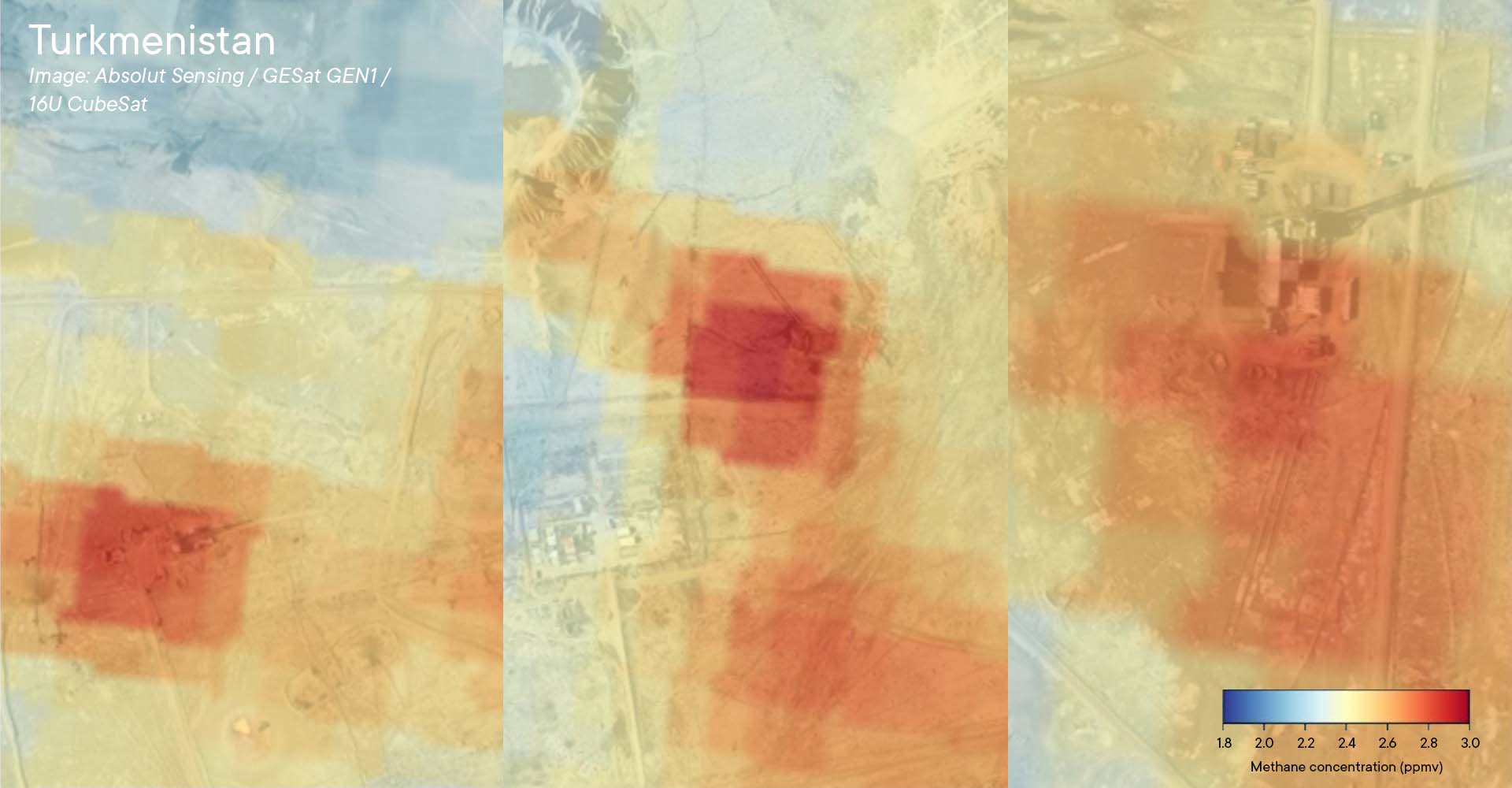
  • Absolut Sensing
    Methane emission detection with a threshold of 100kg/hour
Highlighted Partnerships
Looking for an End-to-End Solution?
Get the insights you need - NanoAvionics delivers turnkey solutions, partnering with leading imager suppliers to meet your mission requirements, solve your challenges, and support your business case.
Contact Us
Already Have a Payload?
Integrate your payload seamlessly with our configurable satellite buses. Match a platform to your mission requirements online, and rely on NanoAvionics for expert support through every stage.
Configure
Why NanoAvionics for Earth Observation?
  • Gain Confidence in Your Mission's Lifetime
    Take advantage of our industry-leading heritage and reliability. Our comprehensive radiation testing ensures all our subsystems are immune to destructive Single Event Latch-ups (SEL).
  • High Performance on Short Lead Times
    We minimize your time to orbit while maximizing mission efficiency with proven, in-house developed satellite buses, AOCS solutions, and trusted payload partners.
  • Reduce Your Risks
    Avoid the struggle of finding a system's weaknesses in orbit. Our broad customer base translates into unmatched real-world expertise acquired by operating a wide variety of payloads.
  • Get Transparent, Comprehensive Support
    From feasibility study through in-orbit operations, NanoAvionics provides expert guidance and detailed reporting to ensure your mission meets all mission requirements and regulations.
Drag to sides
What Our Customers Say
A Partner You Can Trust
"NanoAvionics has been an amazing partner, guiding us through uncharted territory and helping us create a spacecraft tailored to our mission. Your support, collaboration, and shared excitement have been key to this journey. Thank you for helping make our dream a reality - this is only the beginning!" LEO PRIETO, CEO LEMU
Supporting Capabilities and Infrastructure
  • Payload Integration
    Expertise in integrating and operating high-resolution optical and SAR payloads
  • Quality Assurance
    Accelerated lifetime testing ensures platforms perform flawlessly for EO mission durations
  • Strict Compliance
    Proven history of meeting stringent government, defence, and national security demands
  • Secure AIT Facilities
    Access to Kongsberg's ISO27000-certified COSMOS AIT facilities to handle classified missions